news
Los Angeles Launches Massive Digital Property Records Overhaul, Rivals Watch
Los Angeles has launched one of the largest municipal duplicate-image-replacement campaigns in any American city, but Singapore and Amsterdam got there first.
How we reported this
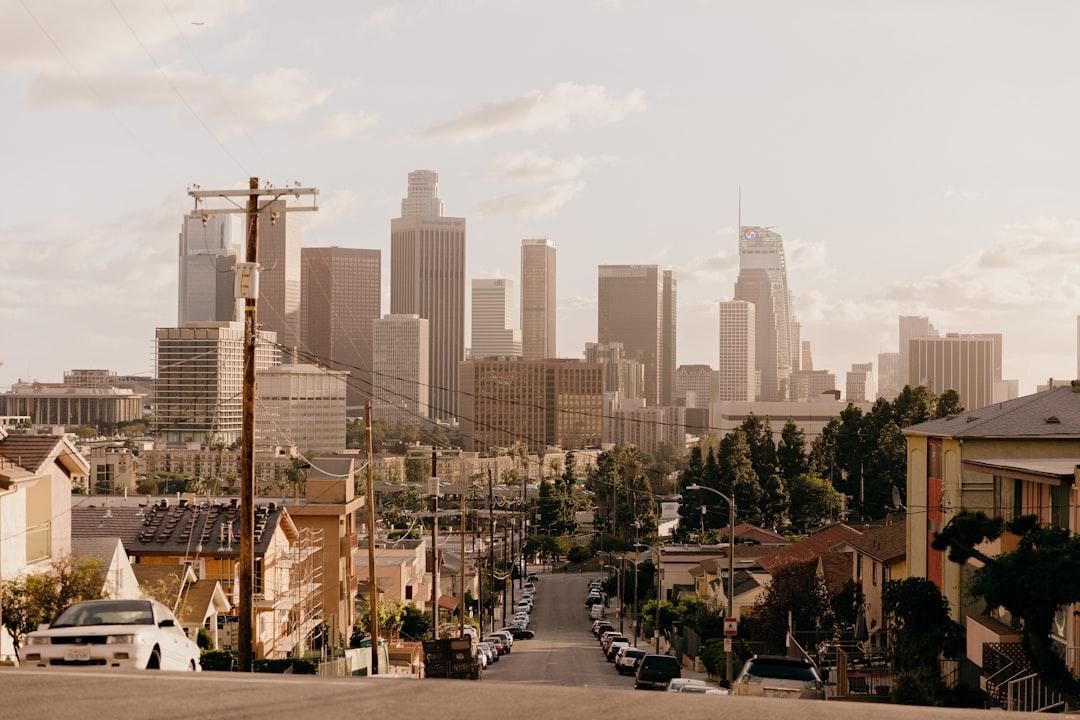
Los Angeles city staff confirmed this week that the Bureau of Engineering has been systematically auditing its GIS and property-record databases since January 2026, replacing thousands of duplicate or corrupted building and parcel images that have clogged the city's permitting and planning portals for years. The cleanup affects records tied to more than 40,000 parcels across the city, with the heaviest concentration in South Los Angeles and the Eastside communities of Boyle Heights and El Sereno.
The timing is not incidental. With Mayor Karen Bass's housing emergency declaration still in force and the city fast-tracking new shelter and affordable-housing permits, duplicate image files in the city's LARIAC, Los Angeles Regional Imagery Acquisition Consortium, database have been slowing approvals by forcing staff to manually verify which photograph is the current, authoritative record before signing off on any entitlement. That bureaucratic friction adds days, sometimes weeks, to a process that the Bass administration has publicly pledged to compress. The 2028 Olympics infrastructure pipeline, which runs through the Department of Public Works and requires up-to-date aerial imagery of venues from SoFi Stadium in Inglewood to the Coliseum at Exposition Park, has added further urgency.
What the Backlog Actually Looks Like
City technology staff at the Information Technology Agency on South Figueroa Street have described the scope in internal planning documents obtained through a public-records request. The ITA flagged the problem in a memo dated March 14, 2026, noting that roughly 18 percent of parcel-level image records in the planning database carried at least one duplicate file, many of them legacy imports from a 2019 data migration that was never fully validated. That figure does not include duplicates inside the separate Los Angeles County Assessor's portal, which operates independently and has its own remediation schedule.
The city is using a combination of hash-matching software and manual review by contract GIS specialists based at the Bureau of Engineering's offices near Sixth and Maple in the Fashion District. The contract, awarded to a geospatial services firm in April 2026, is valued at just under $2.1 million and is expected to run through December. Staff are targeting completion of the South L.A. parcels, the largest single block of affected records, by September 1, ahead of the rainy-season window when updated aerial imagery is typically collected.
How L.A. Compares With Other Cities
Singapore completed a comparable municipal image-deduplication project across its Urban Redevelopment Authority's OneMap platform in 2023, clearing roughly 200,000 records over eight months. Amsterdam's Kadaster land-registry system ran a similar audit in 2022 and made the methodology open-source under a Creative Commons licence, which several European municipalities have since adopted. Los Angeles has not indicated whether it plans to publish its own methodology publicly.
Chicago launched a duplicate-record cleanup inside its city data portal, data.cityofchicago.org, in late 2024, targeting building-inspection photographs specifically. That project was scoped more narrowly than what Los Angeles is attempting, covering roughly 12,000 records compared to L.A.'s 40,000-plus. London's Ordnance Survey has rolled out automated deduplication at the national level since 2021, but British local councils still manage their own legacy image libraries with varying degrees of success, a decentralised approach that city-technology advocates in Los Angeles have pointed to as a cautionary example.
For Angelenos dealing directly with the permitting system, contractors pulling ADU permits in Sylmar, developers waiting on entitlements in Chinatown, homeowners in the Crenshaw corridor navigating fire-hardening rebate applications, the practical effect of a cleaner image database should be measurable in processing speed. The ITA memo projected a 12 to 15 percent reduction in manual-review flags once the deduplication is complete, though that estimate is internal and has not been independently verified.
The Bureau of Engineering has scheduled a public progress report for the September 2026 meeting of the City Council's Planning and Land Use Management Committee. Anyone with pending permits tied to affected parcels can check record status through the city's Development Services case-search tool at ladbs.org.