How to Get Around Los Angeles: Local Routes & Tips
Discover how LA residents actually commute: avoid rush hour, master surface streets, and choose transit that works for your neighborhood.
Discover how LA residents actually commute: avoid rush hour, master surface streets, and choose transit that works for your neighborhood.
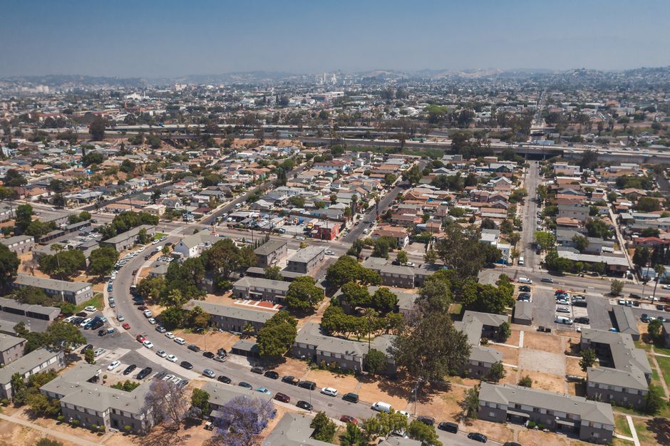
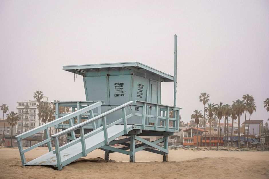
Los Angeles has a reputation for being a car-dependent sprawl, but that's only half the story. After speaking with residents across Silver Lake, Santa Monica, Downtown, and the San Fernando Valley, a more nuanced picture emerges—one where locals have mastered the art of navigating this city through a combination of strategic driving, public transit savvy, and honest trade-offs.
The consensus among longtime commuters is clear: rush hour on the 405 and 101 is non-negotiable misery between 7-10 a.m. and 4-7 p.m. But residents who've cracked the code avoid it entirely. Many have shifted to early starts before 6:30 a.m. or flexible schedules that let them work from home two or three days weekly. For those without that luxury, surface streets like Laurel Canyon, Sepulveda Boulevard, and the backroads through Runyon Canyon offer genuine alternatives, though they require local knowledge and patience.
The Metro system, often dismissed by outsiders, has genuine converts. The Red Line from North Hollywood to Downtown saves commuters from the nightmare of the 101 corridor. The Gold Line to Pasadena and the Silver Line bus rapid transit through the Valley have developed loyal ridership among people who've calculated the cost-benefit: a monthly pass costs $100, versus $200+ in monthly gas and parking downtown. Real talk: buses run late, and the system isn't perfect, but it's reliable enough for daily commuters willing to adjust expectations.
Micromobility is reshaping how Angelenos move short distances. Scooters and bikes work well in neighborhoods with flat topography and connected bike lanes—Culver City, parts of West LA, and Long Beach are sweet spots. But hills in Los Feliz and Echo Park make these options impractical. Local cyclists consistently recommend the LA River path as a game-changer for car-free commuting, particularly for west side workers heading to Downtown.
Carpooling apps like Waze Carpool and traditional vanpools attract people looking to split freeway costs, though availability varies by district. Some employers from tech companies in Santa Monica to medical facilities in Century City subsidize transit passes—worth asking about.
The honest truth from residents: there's no single solution. Most Angelenos juggle multiple options depending on destination, time, and circumstance. What works for a Downtown commuter from Los Feliz doesn't work for someone traveling from Long Beach to Burbank. Success means abandoning the myth of a perfect system and instead building a personal transportation toolkit—one that might include carpools, occasional Metro rides, your car, and a bike.
This article was compiled by AI from the sources linked above and screened before publishing. See our editorial standards.
How does this story make you feel?
Spread the word
About this article
Published by The Daily Los Angeles
Daily brief
Free, in your inbox before 7am. Weekdays.
More in lifestyle